Category:Project Tamriel-Cyrodiil-Map Images
The UESPWiki – Your source for The Elder Scrolls since 1995
This category lists all the maps used on various Province: Cyrodiil place pages.
Subcategories
This category has only the following subcategory.
Media in category "Project Tamriel-Cyrodiil-Map Images"
The following 14 files are in this category, out of 14 total.
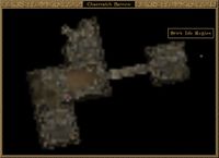
- PC3-map-Chaerraich Barrow Gamemap.jpg 694 × 503; 35 KB
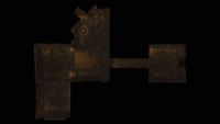
- PC3-map-Chaerraich Barrow.jpg 1,920 × 1,080; 104 KB
- PC3-map-Helvor Family Crypt Gamemap.jpg 1,355 × 569; 72 KB
- PC3-map-Helvor Family Crypt, Passage Gamemap.jpg 1,100 × 487; 56 KB
- PC3-map-Helvor Family Crypt, Passage.jpg 1,920 × 1,080; 121 KB
- PC3-map-Helvor Family Crypt.jpg 1,920 × 1,080; 109 KB
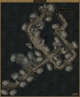
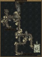
- PC3-map-Kingfisher Cave.jpg 884 × 1,080; 104 KB
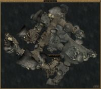
- PC3-map-Land's End Grotto.jpg 1,222 × 1,080; 117 KB
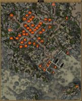
- PC3-map-Stirk (city).jpg 878 × 1,080; 337 KB
- PC3-map-Vabriasel, Marine Temple.jpg 573 × 1,080; 74 KB
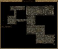
- PC3-map-Val Ansvech Barrow Gamemap.jpg 776 × 661; 47 KB
- PC3-map-Val Ansvech Barrow.jpg 1,920 × 1,080; 106 KB
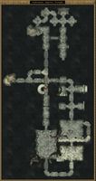
- PC3-map-Wormusoel, Secret Passage.jpg 793 × 1,080; 105 KB
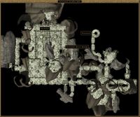
- PC3-map-Wormusoel, Unsullied Halls.jpg 1,297 × 1,080; 169 KB
